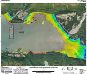
Coastal Alaska lives with the most serious tsunami risk in the United States. Historically, tsunamis generated by earthquakes in Alaska have caused damage and loss of life along Alaska coastlines, the West Coast of the contiguous United States and across the Pacific. Here in Alaska, tsunamis generated by nearby earthquakes and landslides represent "near-field" hazards. In other words, people have minutes rather than hours to reach safety.
In partnership with the Alaska Earthquake Center and the Alaska Division of Homeland Security and Emergency Management, we publish maps of potential inundation made using numerical modeling of tsunami wave dynamics. The collaborative Tsunami Inundation Mapping Program in Alaska is funded wholly by the National Tsunami Hazard Mitigation Program under the National Weather Service and works to make our coastal communities safer by providing state and local officials and residents with the best possible information for addressing the tsunami hazards faced by their communities. Communities are selected with consideration of their tsunami hazard exposure, location, infrastructure, availability of data, and willingness to incorporate the results in a comprehensive mitigation plan. The maps incorporate the best tsunami science available at the time of publication.
Tsunami inundation maps and associated reports are available for the areas listed in the sidebar.
DGGS released a catalog of source data for tsunami inundation modeling in Alaska. This resource provides a comprehensive, public-facing, searchable index of all tsunami sources used in decades of Alaska tsunami hazard studies to promote transparency, facilitate scientific reproducibility, and satisfy NTHMP archival requirements. Seismic and non-seismic digital tsunami sources from future hazard studies will be appended to this database as appropriate. The files are indexed by the community names and the publications in which they are utilized.