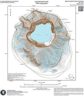
Nye, Chris, 2017, Kasatochi Island 2009 topography: Alaska Division of Geological & Geophysical Surveys Miscellaneous Publication 163, 1 sheet, scale 1:10,000. https://doi.org/10.14509/29733
 Maps & Other Oversized Sheets
 Geospatial & Analytical Data
| Kasatochi Island 2009 topography | Data File Format | File Size | Info |
|---|---|---|---|
| Download mp163_kasatochi-topo-elevation-data | Georeferenced raster files | 12.2 M | Metadata - Read me |
| Download mp163_kasatochi-topo-map-files | Database files | 9.7 M | Metadata - Read me |
| Download mp163_kasatochi-topo-map-image | Georeferenced raster files | 13.7 M | Metadata - Read me |
Aleutian Islands; Digital Elevation Model; Geodatabase; Geology; Geomorphology; geoscientificInformation; Holocene; Kasatochi; Satellite; Shaded Relief; Surface; Topography; Volcanoes