Under the overall administration of the Director's Office, the Division of Geological & Geophysical Surveys is organized into five sections, the Geologic Materials Center and the Alaska Geospatial Office. See each section's home page to learn more about DGGS projects and find helpful links to relevant information.

The Director's Office provides strategic planning for the Division's programs to ensure that DGGS is meeting the needs of the public, manages the Division's fiscal affairs, and provides personnel and clerical services. The Director acts as a liaison between the Division and local, state, federal, and private agencies; seeks out and encourages cooperative geologic programs of value to the state; and advises the Commissioner of the Department of Natural Resources about geologic issues.

The Alaska Division of Geological & Geophysical Surveys, Energy Resources Section generates new information about the geologic framework of frontier areas that may host undiscovered oil, gas, coal, or geothermal resources. Summary maps and reports illustrate the geology of the state's prospective energy basins and provide data relating to the location, type, and potential of the state's energy resources. The Energy Resources Section seeks to improve the success of state-revenue-generating commercial oil and gas exploration and development and to identify local sources of energy for rural Alaska villages and enterprises.

The Hydrology & Surficial Geology section applies the science of geology to understanding the engineering considerations of geologic materials and other geologic problems for society. This section collects, analyzes, and compiles geologic data useful for engineering and hydrologic purposes needed for managing Alaska's water resources and building infrastructure. We also identify where geologic processes are most likely to have an impact on humans, the structures we build, and the environment.

The Geologic Hazards Section collects, analyzes, and compiles geologic data useful for hazard risk-mitigation purposes. Studies of major geologic hazards such as earthquakes, landslides, active faults, tsunamis, volcanic activity, cryospheric change, flooding and erosion result in reports outlining potential hazards in susceptible areas. The section advises other DNR divisions and state agencies regarding potential hazard risks to proposed developments and land disposals. The section is also the home for the DGGS participants in the Alaska Volcano Observatory (AVO), an interagency collaboration between the U.S. Geological Survey, University of Alaska Fairbanks Geophysical Institute, and DGGS.

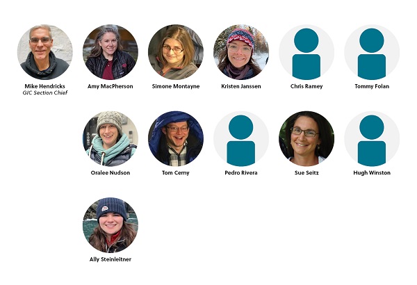
The Geologic Information Center publishes and delivers Division-generated geologic information to the public and maintains and improves public access to Alaska's geologic and earth science information. Advances in computer technology have resulted in faster preparation of maps and reports and a wider awareness of DGGS's available Alaska geologic resources. This section designs, implements, maintains, and improves a database for the Division's digital and map-based geological, geophysical, and geochemical data; a database for the Division's physical samples; interactive maps; and websites for the Division and the Alaska Seismic Hazards Safety Commission.

The Alaska Geologic Materials Center (GMC) connects the state's largest geologic collections to research, industry and education communities for the purposes of greater geologic understanding, increased awareness of economic opportunities, and to stimulate public interest and understanding in Alaska's geologic history.

The Alaska Geospatial Office (AGO) coordinates with public and private stakeholders across Alaska to develop and manage geographic information. AGO works under five priority initiatives: 1) building collaborative relationships; 2) creating a shared geospatial framework; 3) establishing data governance; 4) providing access to decision-support tools; and 5) enhancing geospatial capabilities and literacy through education and outreach. Working together, state, federal, and local governments are improving geographic information and how it is shared. AGO administers the Alaska Geospatial Council, an independent advisory council for geospatial initiatives and the State of Alaska Geoportal, a one-stop-shop for geospatial data, maps, and apps managed by government agencies.

The Mineral Resources Section collects, analyzes, and makes available information on the geological and geophysical framework of Alaska as it pertains to the mineral resources of the state. Summary maps and reports illustrate the geology of the state's prospective mineral terranes and provide data on the location, type, and potential of the state's mineral resources. These data aid in the state's management of mineral development, and help to encourage mineral exploration in Alaska, which provides employment opportunities and revenue for Alaska's citizens.