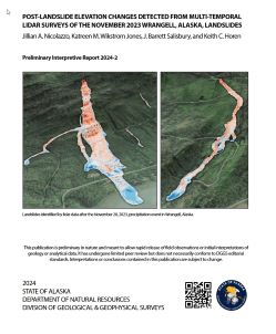
Nicolazzo, J.A., Wikstrom Jones, K.M., Salisbury, J.B., and Horen, K.C., 2024, Post-landslide elevation changes detected from multi-temporal lidar surveys of the November 2023 Wrangell, Alaska, landslides: Alaska Division of Geological & Geophysical Surveys Preliminary Interpretive Report 2024-2, 22 p. https://doi.org/10.14509/31124
 Report Information
Cemetery Point; DGGS; Emergency Preparedness; Engineering; Engineering Geology; Environment; Environmental; Geologic; Geologic Hazards; Geological Process; Geology; Geomorphology; Geotechnical; Hazards; Institute Creek; Landslide; Landslide Deposits; Landslide Susceptibility; McCormack Creek; Pat Creek; Pats Lake; Rainbow Falls; Slides; Slope; Slope Instability; South Boundary Creek; Southeast Alaska; Surface; Surface Water; Surficial; Surficial Geology; Trout Lake; Wrangell; Wrangell Island; Zimovia Strait