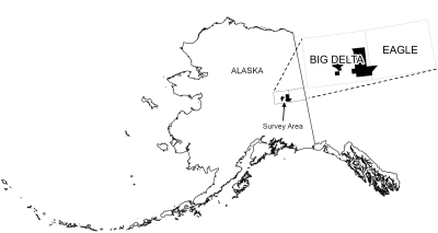
Emond, A.M., and MPX Geophysics LTD, 2020, Shaw Creek and Shawnee Peak airborne magnetic and radiometric geophysical survey: Alaska Division of Geological & Geophysical Surveys Geophysical Report 2020-16, 2 p. https://doi.org/10.14509/30551
 Report Information
 Geospatial & Analytical Data
Aeromagnetic; Aeromagnetic Data; Aeromagnetic Map; Aeromagnetic Survey; Analytic Signal; Antimony Creek; Big Swede Creek; Black Mountain; Boulder Creek; California Creek; Central Creek; Corda Creek; Delta River Mining District; Divide Creek; Eagle Creek; Exploration; Fairbanks Mining District; Geologic; Geology; Geophysical Survey; Geophysics; Geophysics Search Tag; geoscientificInformation; Gilles Creek; Glacier Creek; Goodpaster Mining District; Goodpaster River; Granite Creek; Gridded Data; Grizzly Bear Mine; Healy River; Helicopter Survey; Horse Creek; Indian Creek; Johnson Creek; King Creek; Last Chance Creek; Line Data; Magnetic Data; Magnetic Survey; Magnetics; Michigan Creek; Mineral Exploration; Mineral Resources; Mount Harper; Porcupine Creek; Progressive Creek; Radiometric Survey; Radiometrics; Rapid Creek; Remote Sensing; Richardson Mining District; Rock Creek; Serpentine Creek; Shaw Creek; Shaw Creek Dome; Shawnee Peak; Slate Creek; Stone Boy Creek; Summit Creek; Tanana River; Tibbs Creek; Volkmar River; Wolverine Creek


