The GMC operates a newly acquired hyperspectral scanner that uses visible and infrared spectroscopy to non-destructively image geological samples. The instrument combines reflectance spectroscopy, core photography, and 3D laser profiling to map the mineralogical assemblages and textures of drill core and other geological samples in high spatial and spectral resolution. The scanner will use GMC collections to digitize energy, mineral, geothermal, and other priority targets with images and analysis for users to view and download through the repository inventory website.
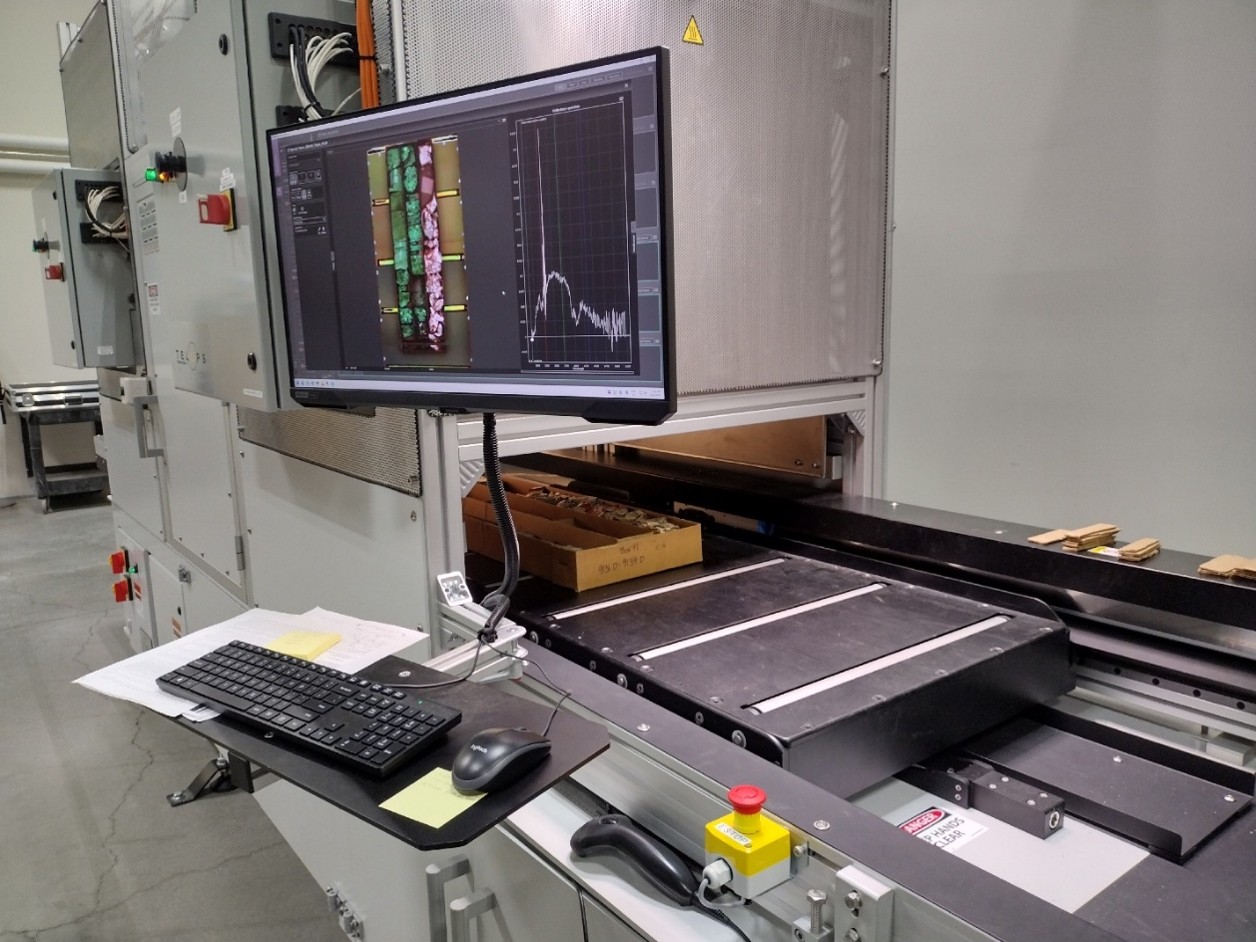
The hyperspectral scanner is designed to image core in four wavelength regions: visible and near infrared (VNIR); short-wave infrared (SWIR); mid-wave infrared (MWIR), and long-wave infrared (LWIR). To cover this range, the hyperspectral scanner includes HySpex Classic VNIR-1800 and SWIR-640 cameras and HyperCam Mini MWIR and LWIR cameras from Telops. The system also includes a 3D laser profiler to characterize surface topography and a high-resolution digital camera.
Data products available for scanned inventory items include high-resolution digital (RGB) images as well as false-color VNIR, SWIR, MWIR, and LWIR images produced from selecting wavelength regions that represent spectral characteristics of each wavelength region. For each infrared camera, a hyperspectral dataset is produced that includes a spectrum for each pixel at the spatial resolution of that camera. In addition, a “merged” dataset includes spectra merged across all wavelength regions acquired by the scanner (from 400 nm to 12,500 nm). Images, raw hyperspectral data, and laser profiler data are available through the GMC Inventory.
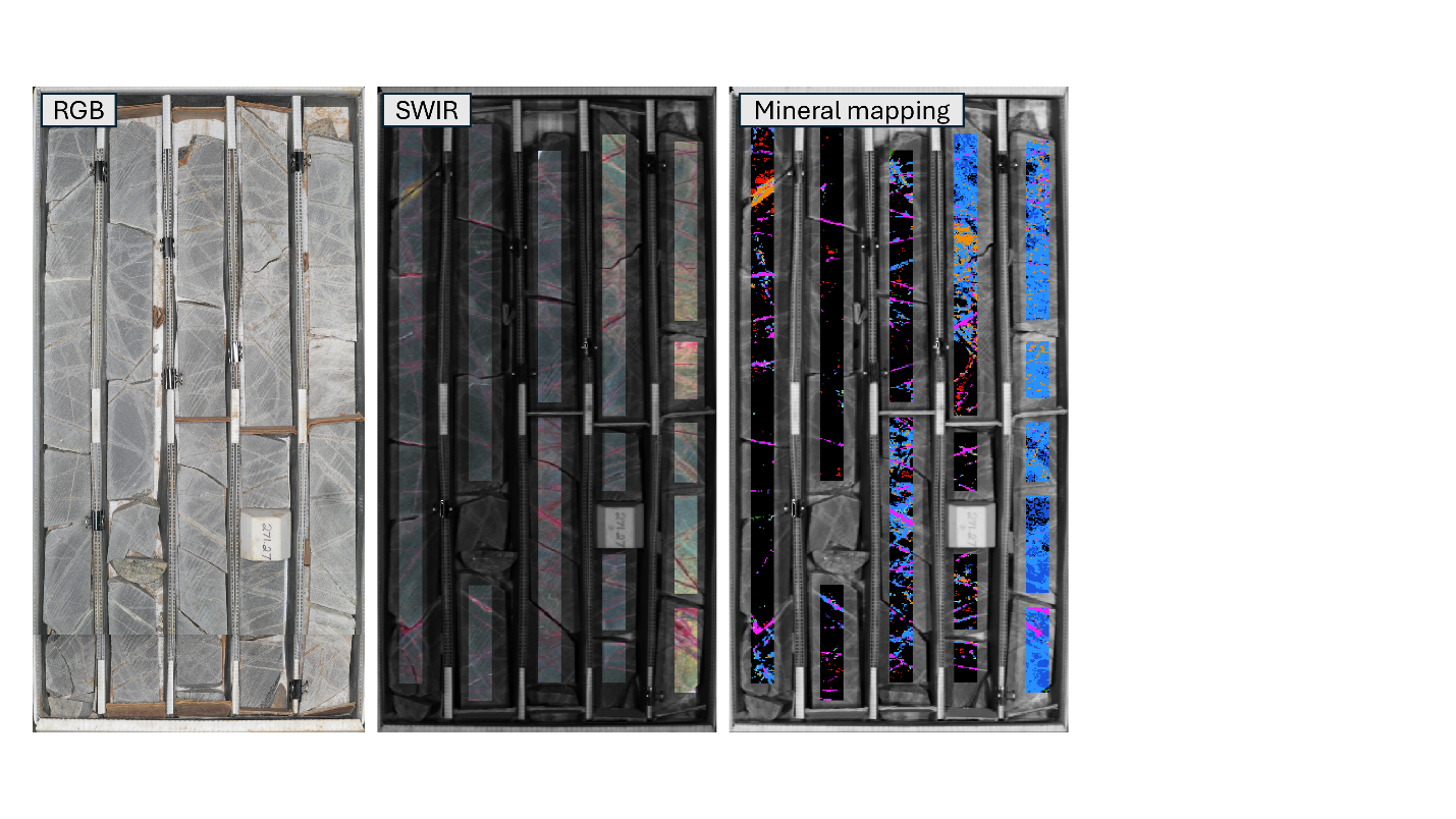
Hyperspectral scanning adds a new layer of information to the state's existing drill core collection. By collecting mineralogical information across scanned samples, the program creates digital datasets that help geoscientists build detailed borehole drill logs, investigate geological relationships, revisit earlier observations, and ask new questions of material collected over many decades.
Making these data more accessible extends the research value of the state's core library beyond the physical samples themselves. The information can help guide future geological investigations, inform early-stage mineral exploration, and support research into emerging energy resources such as natural hydrogen and geothermal energy. By expanding what can be learned from existing samples, the program strengthens the state's geological information resources and supports responsible evaluation of its mineral and energy potential.