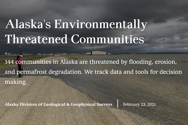
Coastal flooding caused by ex-typhoon Halong in October 2025 has devastated several western Alaska communities. DGGS' Coastal Hazards Program is working on publishing peak water height estimates for all impacted communities. You can visualize possible flooding extents with our Alaska Flood Indundation Tool (AK-FIT).
 Access this StoryMap here
144 communities in Alaska are threatened by flooding, erosion, and permafrost degradation. DGGS tracks data and tools to support decision-making by agencies, Tribal organizations, communities, and partners for the collective "all hands on deck" response to environmental threats.
The DGGS Coastal Hazards Program is engaged in ongoing investigations that expand our understanding of how the coastline has evolved and how it responds to hazardous events and long-term changes. This program is dedicated to fostering scientific partnerships that will improve the quality and quantity of the critical baseline data that are necessary to fuel informed decision-making throughout the state.
The program conducts field investigations at Alaska's coastal communities. Below is a video compilation of our work over the past 5 years. Photos and videos are also shown from our partners at the University of Alaska Fairbanks Arctic Coastal Geoscience Lab.
In July 2023 the DGGS traveled to Wainwright, Alaska and documented coastal change caused by a single storm that impacted the community in October 2022. View ArcGIS StoryMap here
Many communities along Alaska's rivers and coasts are exposed to erosion. DGGS quantified this exposure by forecasting shorelines on existing community infrastructure. Community specific maps and reports are available to aid in erosion decision making.