DGGS helps facilitate local efforts by collecting and providing access to reliable data through the development of community-based monitoring for erosion and flooding. We update and archive data in supported databases, translate information into useable products, and provide data to the public in multiple online formats.
In 2015, a collaborative project to facilitate community-based monitoring of erosion was established between DGGS, Bristol Bay Native Association, University of Alaska Fairbanks, and Alaska Sea Grant with funding from the Bureau of Indian Affairs and Alaska Sea Grant. The pilot project, focused on Bristol Bay, developed procedures for staff at the local tribe or city to monitor erosion, have the resulting data processed using scientific methods, and made accessible in a usable format. Additional communities have shown interest in participating in their own erosion monitoring and, through either funding the work themselves or working with the Alaska Institute for Justice, successfully worked with DGGS to install and maintain sites. The results of recent monitoring efforts are shown below.

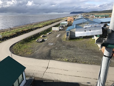
ARGUS wave monitoring camera at Unalakleet.

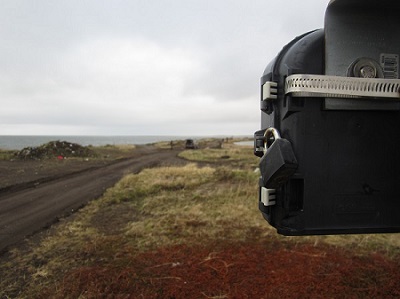
A time lapse camera used for coastal monitoring at Port Heiden.
The Alaska Water Level Watch is used by local residents, as well as tribe and city staff throughout western Alaska to communicate the impacts of flooding.
This booklet of community-based methods for monitoring coastal erosion provides comprehensive instructions for implementing three community-based shoreline monitoring systems, with instructions designed to be completed by local residents. By building an understanding of long-term shoreline change, Alaskans will be better prepared to respond and adapt to impacts to their public health, safety, infrastructure, and well-being.