Mission statement: A statewide program to lead research efforts that focus on understanding the interaction between geology and groundwater impacting resource development and communities in a time of climate change.
Goal: To understand and map, quantity and quality of groundwater resources in the state of Alaska
The Hydrology Program focuses on the groundwater resources of Alaska. Because permafrost and groundwater are strongly linked, we work to gain a better understanding of current and future permafrost distribution. A second aspect of the program evaluates the quantity and quality of groundwater available for multiple state priorities. Finally, we also evaluate hazards associated with groundwater, including landslides, aufeis, and flooding.
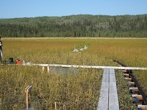
In Alaska there is an enormous knowledge gap when it comes to detailed understanding of near-surface geology necessary for groundwater studies. In this program we utilize a suite of tools to fill the gap and address our goals.
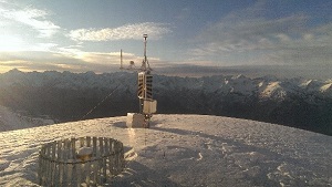
Our toolbox includes remote sensing of the surface through high resolution satellite and aerial imagery, airborne and ground-based geophysics, boreholes and water wells, and physically based computer models to extrapolate from the small amount of data available. Through collaborations with scientists from numerous other disciplines and institutions we are learning more about groundwater in Alaska.
Methane bubbles in lake ice.
Groundwater and permafrost are closely linked. The ice and frozen soil in permafrost can form a solid barrier to groundwater flow. This permafrost barrier can cause artesian groundwater conditions in which the water becomes pressurized beneath the frozen ground, and lead to fast-flowing springs if the permafrost is penetrated by a borehole or local permafrost thaw (e.g., by a heated slab underneath a house). In other cases, groundwater can actually prevent permafrost from forming because it is warmer than the freezing point of water. Geothermally heated groundwater—such as hot springs—is an extreme example of groundwater preventing permafrost development.
Surface water and groundwater levels are often linked. Elevated groundwater levels typically occur 1–3 weeks later than peak surface water levels. This groundwater rise can be extreme, especially in low lying areas such as North Pole, Alaska, where cellars can fill with water weeks after river flooding has subsided.
Aufeis (icing) in Goldstream Valley near Fairbanks, Alaska.
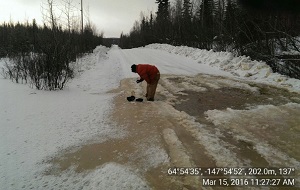
Thick buildups of aufeis, or icings, can result from winter groundwater flow that does not freeze immediately as it comes up from the ground. The groundwater temperature is typically a few degrees above freezing and takes time to cool before it turns to ice, at which point is has flowed out on the top of the snowpack to create sheets of ice.
Ronald P. Daanen
Hydrology Program Manager
Phone: 907-451-5965
Email: ronald.daanen@alaska.gov