The State of Alaska Division of Geological & Geophysical Surveys Surficial Geologic Mapping and Corridor Studies Program is committed to better understanding the state's surficial material resources and potential geologic hazards by using a combination of field-based and remote sensing techniques to gather essential information that can be used for making more informed land management and planning decisions in areas of state-identified need.
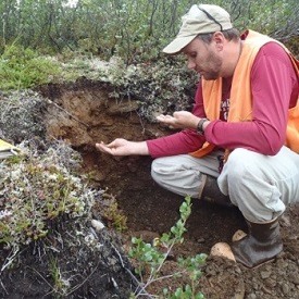
Field data collection during the Tok River surficial geologic mapping project.
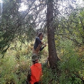
Coring a tree to collect data for Treasure Creek slope instability assessment, north of Fairbanks, Alaska (a collaborative project with DNR MLW).
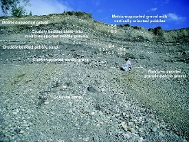
Sand and gravel exposure evaluated during the multi-year Alaska Highway corridor geologic mapping and geohazards project.

Drill-core logged as part of the Richardson Highway slope instability assessment project near Tonsina (a collaborative project with AKDOT&PF).
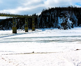
Landslide adjacent to the Dalton Highway evaluated as part of the Yukon River geologic mapping and hazard assessment.
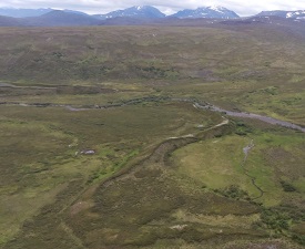
Esker composed of sand and gravel evaluated as part of Talkeetna Mountains geologic mapping.
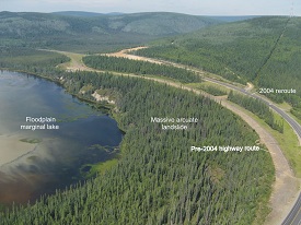
Slope failure near Northway, AK evaluated as part of the Alaska Highway corridor geologic mapping and geologic hazards assessment.
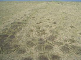
Ice-wedge polygons observed during Kivalina surficial geologic mapping.
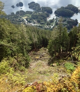
Slope instability observed during ongoing Sitka landslide inventory and susceptibility mapping.
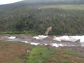
Slope instability and aufeis investigated as part of Tanacross D-1 geologic mapping project southeast of Chicken, Alaska.