DGGS logo
State of Alaska Alaska / Natural Resources DNR / Geological & Geophysical Surveys DGGS / Geologic HazardsHazards

Landslide Hazards Program

Landslide Hazards banner

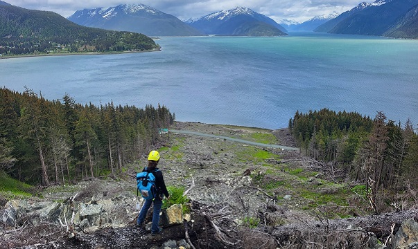
Jill Nicolazzo views the Beach Road landslide in Haines while conducting field work. Photo credit: Mort Larsen

About the Program

The DGGS Alaska Landslide Hazards Program (ALHP) is dedicated to mapping and assessing landslides, understanding and quantifying landslide hazards, and improving geologic hazard communication and coordination with other agencies and communities. ALHP is devoted to improving and developing long-term relationships and collaborations with agencies and communities that are affected by landslides.
Headlines

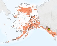
  • ALHP is working with the Haines Borough and City of Cordova on developing landslide inventory and landslide susceptibility maps funded by the FEMA Cooperative Technical Partners Program
  • ALHP has a project with Division of Mining, Land & Water on creating landslide inventory and landslide susceptibility maps for an area in Juneau
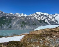
  • ALHP continues to support the Barry Arm Landslide research, monitoring program and field logistics
  • Recent landslide hazard related publications

Coming Soon

Topics of Investigation

Topic of investigation: Alaska Landslide Reporter

Alaska Landslide Reporter App

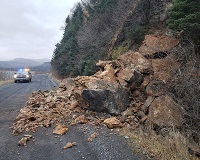
  • Report a landslide to DGGS geologists
  • Submit a landslide report online or through the app
Topic of investigation: Barry Arm Landslide

Barry Arm Landslide Hazard Status

  • Interagency science team update
  • Barry Arm Landslide status
  • Monitoring equipment updates and available data
  • Field work activities
Copyright © 2024 · State of Alaska · Division of Geological & Geophysical Surveys · Webmaster