DGGS logo
State of Alaska Alaska / Natural Resources DNR / Geological & Geophysical Surveys DGGS / Geologic HazardsHazards

Climate and Cryosphere Hazards

Climate and Cryosphere Hazards banner

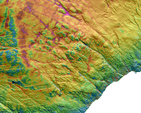
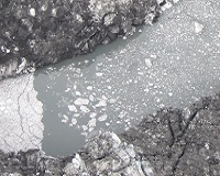
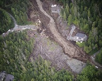
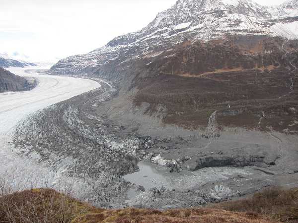
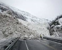
Most high-latitude northern regions have undergone rapid and substantial warming over the last few decades. Alaska is particularly sensitive to the effects of climate warming as much of its social and economic activity is connected to the existence of snow, ice, and permafrost (i.e. the cryosphere). Changes in climate can modify natural processes and could increase the magnitude and frequency of certain types of geologic hazards (e.g., avalanches, floods, erosion, slope instability, thawing permafrost, and glacier lake outburst floods) which, if not properly addressed, could have a damaging effect on Alaska's communities and infrastructure, as well as on the livelihoods and lifestyles of Alaskans.

About the Program

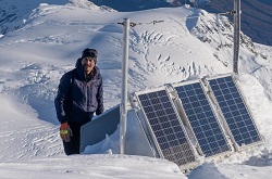
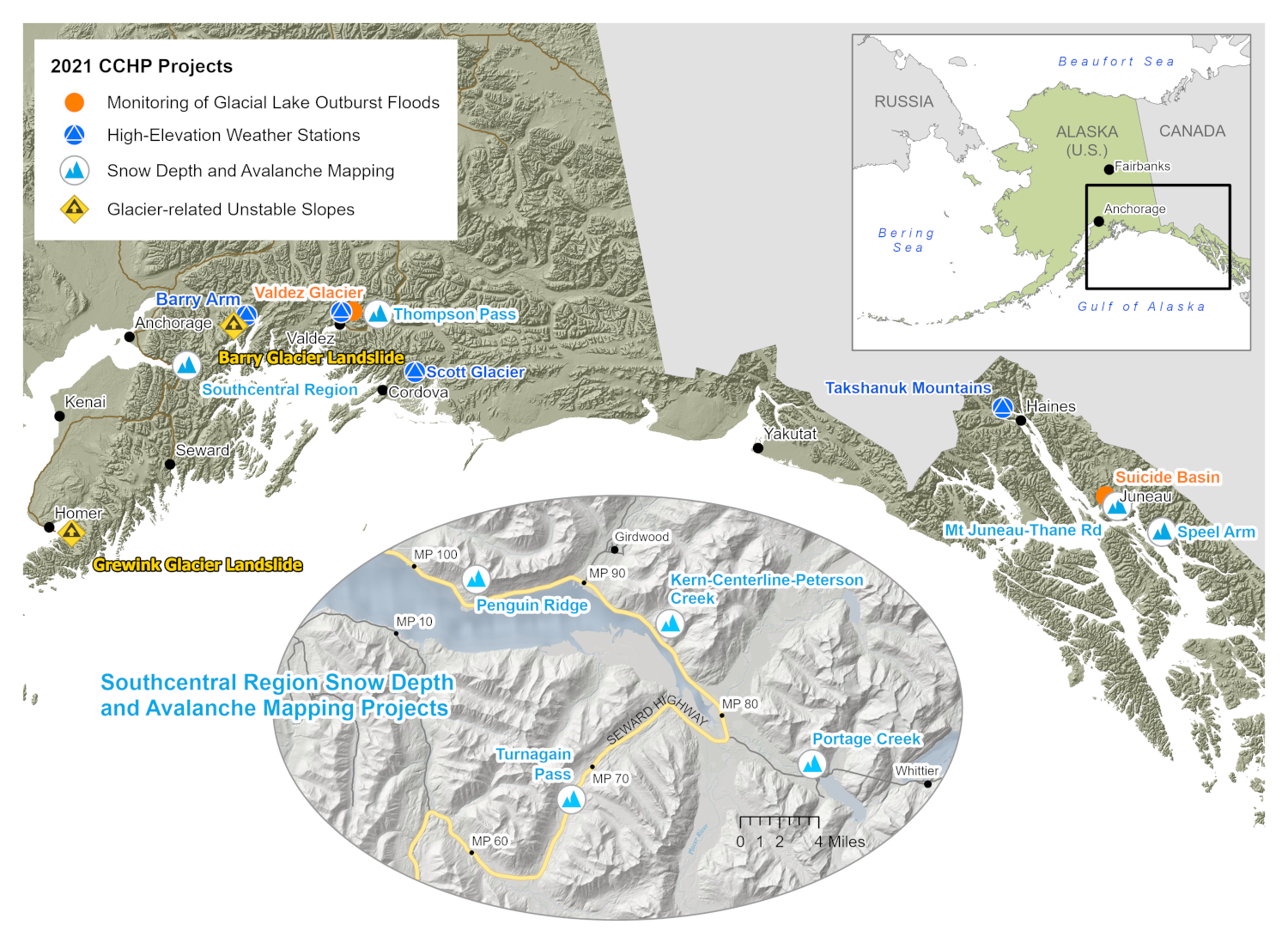
The DGGS Climate and Cryosphere Hazards Program (CCHP) uses a combination of field-based observations, remote sensing, and modeling to assess, monitor, and predict the impacts of a changing cryosphere on communities, infrastructure, and resources in Alaska.

Headlines

  • The Community Snow Observations (CSO) project wrapped up another winter season. Find a summary of activities from last winter here;
  • CCHP is working with Alaska Railroad Corporation on an avalanche mapping project at Door 4 avalanche path near Portage Creek. The project involves snow depth distribution mapping and avalanche modeling to support mitigation planning and regional scale avalanche hazard mapping;
  • CCHP is collaborating with Aachen University, Kachemak Bay State Park, and others on an unstable slope study at Grewingk Glacier near Homer, AK. CCHP completed an airborne lidar campaign of the study area;
  • CCHP has partnered with DOT&PF to map topography and snow distribution at Penguin Ridge, along the Seward Highway near Girdwood, in support of avalanche mitigation needs. The first lidar survey was completed in September, 2021;
  • CCHP continues to work on the Barry Arm landslide and tsunami hazard project and participated in the installation of nine new weather stations at the Barry Arm landslide;
  • CCHP has partnered with AEL&P and DOT&PF to map snow distribution and assess avalanches near Juneau.

Topics of Investigation

Topic of investigation: Snow avalances

Snow Avalanches

  • Large-scale snow avalanche hazard mapping
  • Future changes in snow avalanches
  • Coupled snow depth mapping and numerical avalanche modeling
Topic of investigation: Snow variability

Snow Variability & Distribution

  • Snow depth distribution
  • Snow water equivalence mapping
Topic of investigation: Glacier change

Glacier Change

  • Mass balance and runoff
  • Glacial lake outburst floods
  • Glacier collapse
Topic of investigation: Unstable slopes

Unstable Slopes

  • Debris flows
  • Landslides
  • Rock avalanches

CCHP's Toolbox

  • Lidar
  • Traditional and Structure-from-Motion (SfM) photogrammetry
  • Remote observations
    • High-elevation weather stations
    • Real-time cameras
  • Citizen Science
  • Bathymetric surveys
  • Modeling

Current Projects

Copyright © 2024 · State of Alaska · Division of Geological & Geophysical Surveys · Webmaster