Surficial geologic maps provide essential baseline data for informed land use management decisions. They help to understand our environment better, changes that may occur, and geologic hazards such as landslides, active faults, and permafrost degradation. They also provide information about construction material resources and placer deposits. DGGS seeks to collaborate with communities and other stakeholders to prioritize work in areas where mapping offers significant benefits in identified areas of need. Outcomes of geologic mapping projects include maps and associated digital data as well as observations and analysis of data collected at field sites.
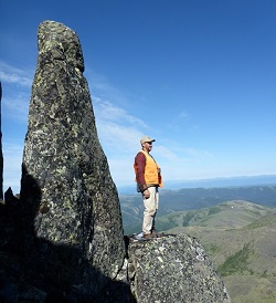
Rock glacier in Iron Creek, Talkeetna Mountains; Field work summer 2014
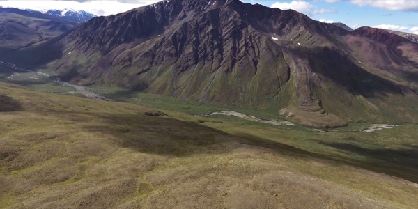
Northeast Tanacross field work, STATEMAP project
Over the years, DGGS has produced several maps funded by the National Cooperative Geologic Mapping Program (STATEMAP). These maps are often collaborative efforts between the Division's sections, frequently having both a bedrock and surficial geology component. This enables us to maximize the benefits of mapping and incorporate information beneficial to multiple stakeholders, including those from the oil and gas and mineral industries.
Since the fall of 2023, geologists have collaborated on a 508 mi2 in the northcentral Tyonek Quadrangle, southcentral Alaska. Surficial mapping will enhance the understanding of available construction materials and geologic hazards, including active faulting and slope instability, supporting planning and mitigation efforts for a proposed access corridor. Additionally, the mapping will help provide a better understanding of the geologic structure on the north side of Cook Inlet, a benefit to the oil and gas industry.
Published STATEMAP projects involving the Hydrology & Surficial Geology Section include:

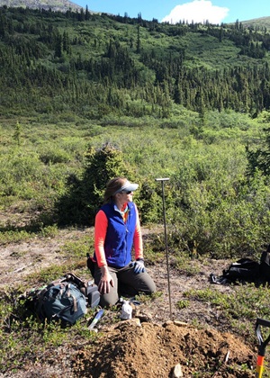
Geologist measuring outwash over clay, West Susitna project
Trent D. Hubbard
Hydrology & Surficial Geology Section Chief
Phone: 907-451-5009
Email: trent.hubbard@alaska.gov