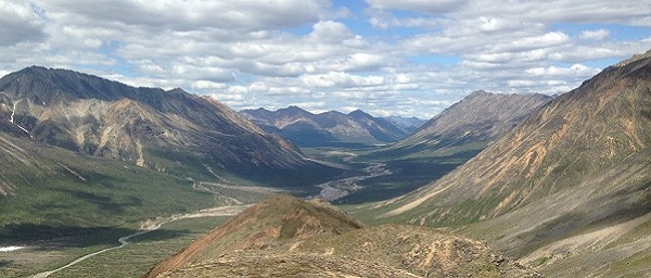
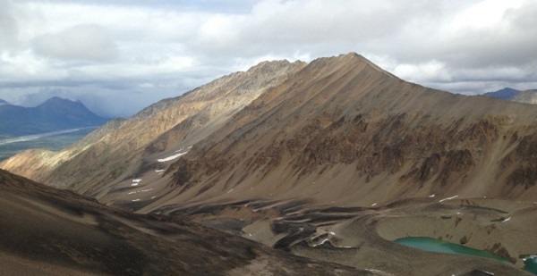
The Styx River study area was selected primarily because of the recent airborne geophysical surveys flown over an area of heightened interest in mineral exploration within the state. It was located in survey tracts with the largest number of plutons and volcanic rocks identified in previous regional geologic mapping. This allowed us to densely sample these large plutons and tease out their geochemical relationships, ages, and relationships to the multiple mineral deposits in the region.

The study area lies in the Styx River and Farewell geophysical survey tracts, located about 100 miles northwest of Anchorage, near the intersection of the Lime Hills, Tyonek, Talkeetna Mountains, and McGrath quadrangles. Mineral exploration within the geophysical survey area is active and ongoing for porphyry copper ± molybdenum ± gold, reduced intrusion-related gold, and polymetallic veins. Lead-zinc skarns, molybdenum-bearing quartz veins, sediment-hosted base-metal, platinum-group-element, and rare-earth-element deposit types are also present. The majority of these mineral occurrences are related to numerous Cretaceous- and Tertiary-age plutonic complexes, dike swarms, and volcanic fields. Tertiary plutons in the mapping area, with similarities to the copper-gold-bearing Tertiary Mount Estelle diorite, highlight new areas of potential Cu-Au-Mo mineralization. We selected samples for 40Ar/39Ar analysis to characterize and distinguish plutonic complexes and mineralization events, and unravel the magmatic, structural, and metallogenic evolution of the area.

The Mineral Resources Section conducted four weeks of fieldwork for the Styx River Project in the Lime Hills C-1 Quadrangle, during summer 2013, as part of the state-funded Airborne Geophysical/Geological Mineral Inventory (AGGMI) Program. This work included refining contacts, subdividing major map units, and identifying new dikes and faults. The resulting 1:63,360-scale geologic map and supporting geochemical (Sicard and others, 2014), petrologic, and geochronologic data fosters better understanding of the geology and mineral potential of the area.
This project was funded through the Strategic and Critical Minerals Assessment capital improvement project, a component of the ongoing AGGMI Program funded by the Alaska State Legislature and managed by DGGS. Many thanks to the U.S. Geological Survey WAPR project team for their collaboration and help with this research. Project publications can be found here.
