A statewide assessment of Hydrokinetic Energy Resources in Alaskan Rivers (SHEAR) is being conducted by the Alaska Division of Geological & Geophysical Surveys (DGGS). This assessment is aimed at sparking long-term investment in this sustainable energy resource. Through GIS analysis, we are maximizing opportunities for rural communities and industries to take advantage of this free and abundant energy resource.
Project Phases
Phase 1: Baseline mapping and stakeholder coordination
Deliverable Summer 2025: Establish Alaska In-River Hydrokinetic (AIRE) Working Group
- Gather key partners from ACEP/AEA/Tribal/Others
- Coordinate Fall 2025 working group inaugural meeting
- Lay foundation for funding proposals, data collection and dissemination, community collaboration, permitting coordination
Deliverable Fall 2025: Hydrologic data summary
- Publish baseline hydrologic and Open Water Season (OWS) ArcGIS Online web map
- Publish preliminary hydrologic data report for SHEAR project
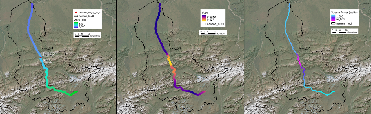
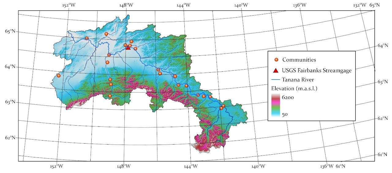
- Active and inactive USGS streamgage sites with quantitative display of Qmax, Qavg, Q25, Q50, Q75, OWS, Qavg_OWS, streamlines, watershed boundaries, and communities
Deliverable Fall 2025: Theoretical river energy resource web map
- ArcGIS Online web map display of GIS-computed flow accumulation, area-factored discharges, slope, and theoretical stream power
- Updates in fall 2025 to include channel width, open water season, ice, and debris
Deliverable Winter 2025: Tanana River ground-penetrating radar bathymetry publication
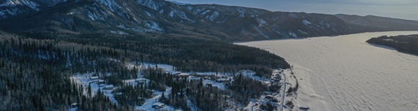
- Raw Data File (RDF) publication of bathymetric survey data collected under ice on the Tanana River in March 2024
Deliverable Spring 2026: Publish Final Report
- Publish final report for the Statewide Assessment of Hydrokinetic Energy in Alaskan Rivers (SHEAR) project
Phase 2: Channel Mapping Project (CMP), and hydraulic, ice, and debris data collection and monitoring
- Coordination and procurement of resources for large-scale multi-season Channel Mapping Project (CMP) to systematically map river bathymetry (depth) and velocity across the state
- Continued procurement of capital investment, project planning, and grid-scale deployment across Alaskan communities


