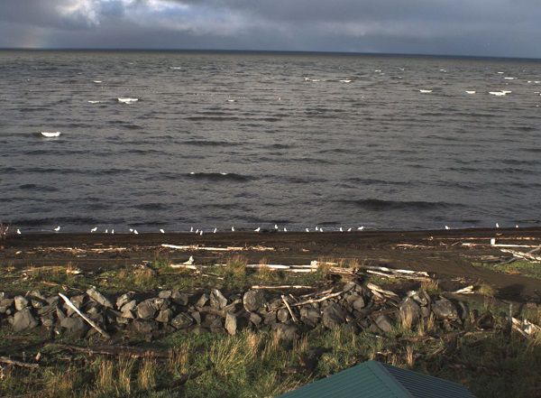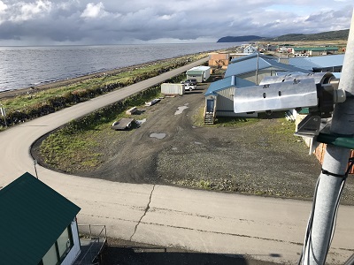
ARGUS wave monitoring camera at Unalakleet.
Two video cameras overlook the coast from atop a windmill tower in Unalakleet, Alaska where they look westward over Norton Sound. The village of Unalakleet is established on a low-lying barrier spit at the eastern end of Norton Sound at the mouth of the Unalakleet River. The region is vulnerable to marine flooding during large storm events. Storm surge in Norton Sound typically occurs in the fall and winter months when the coastline is protected by shorefast ice. Warming trends in the Arctic have resulted in reduced ice coverage and increased occurrence of wave events impacting coasts. This camera system was installed by the USGS in collaboration with DGGS, the Native Village of Unalakleet, and the City of Unalakleet to better understand wave and water-level dynamics in Norton Sound. View real-time photographs of waves.