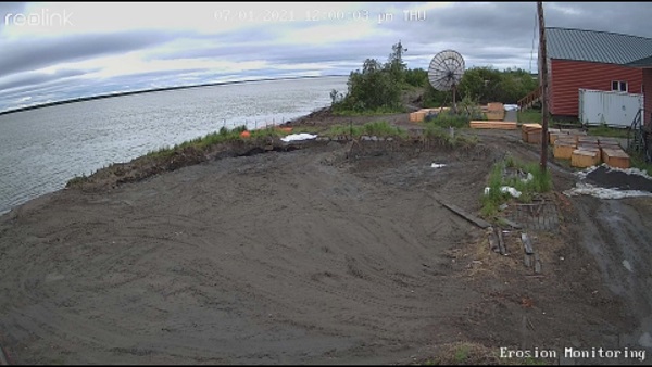
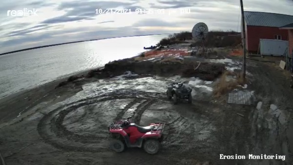
Camera view of Napakiak erosion monitoring site fronting school between July (top) and October (bottom).
Erosion monitoring was initiated by the City of Napakiak to monitor the distance of the Kuskokwim riverbank to the school, well, airport, and residential homes. DGGS travelled to Napakiak to survey these sites, install erosion monitoring stakes, and setup a camera in June 2021. The camera is placed facing the school and transfers data via a cellular connection to monitor shoreline and water level in real-time.

Erosion monitoring sites surveyed in 2021 with historical riverbank lines (gray line with date).
After the site visit, DGGS prepared a letter for the City of Napakiak outlining the urgent timeline by which the current school site is at risk to undermining from erosion.
Letter for the City of Napakiak
Future monitoring measurements and photos will be accessible at this site.
This work was funded by the Bureau of Indian Affairs Tribal Resilience Program through a collaborative project with the Native Village of Napakiak. The monitoring camera is funded by the Alaska Ocean Observing System.


